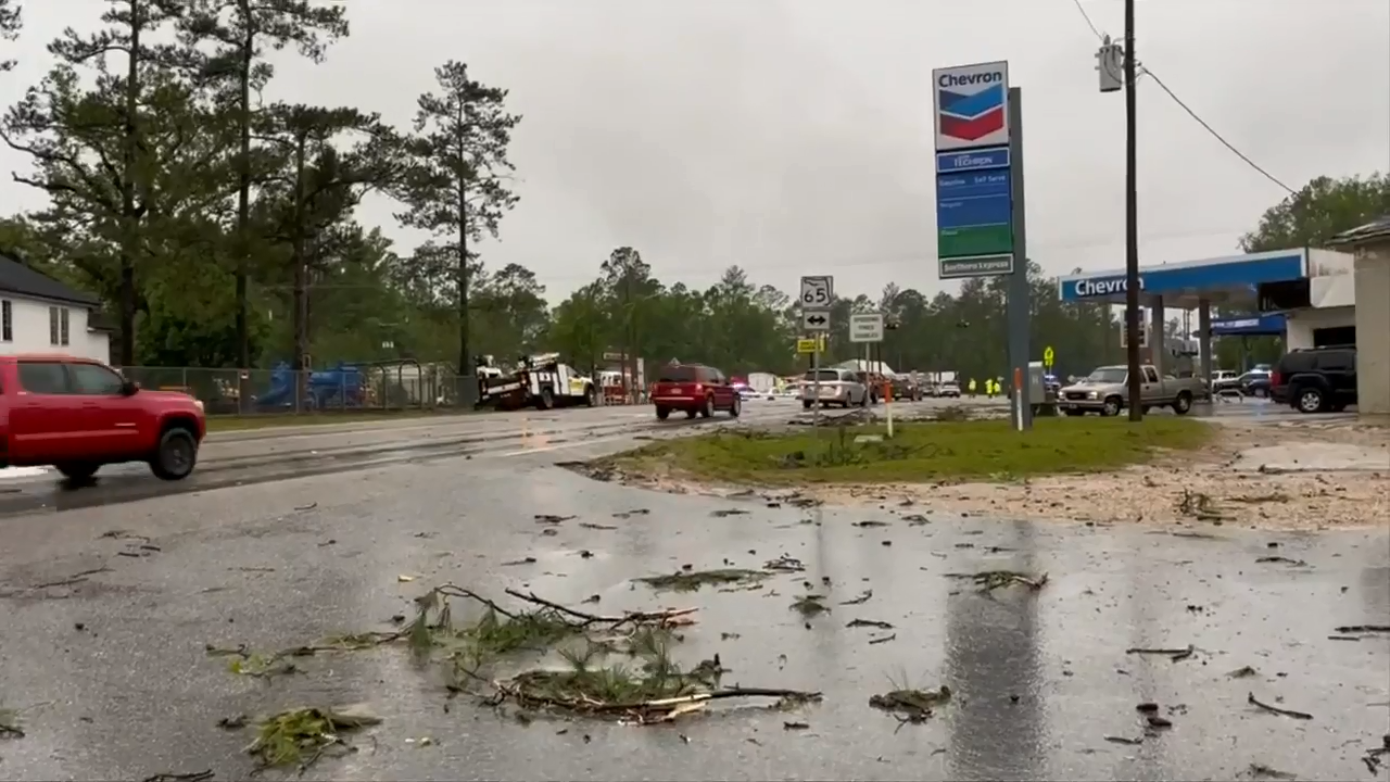
How Fast-Moving Storms Cause Damaging Winds: Safety Tips And Precautions

Table of Contents
Understanding the Mechanics of Damaging Winds in Fast-Moving Storms
The intense winds associated with fast-moving storms are a result of complex meteorological processes. Several factors contribute to the generation of these damaging winds, including strong pressure gradients, wind shear, and in some cases, the formation of mesocyclones.
-
Strong Pressure Gradients: Fast-moving storms often feature significant differences in atmospheric pressure over short distances. This pressure gradient force acts as the primary driver of strong winds, pushing air from high-pressure areas to low-pressure areas. The steeper the pressure gradient (i.e., the faster the pressure changes over distance), the stronger the resulting winds. This is often amplified in severe thunderstorms and associated weather phenomena.
-
Wind Shear: Wind shear, the change in wind speed or direction over a short distance, plays a crucial role in intensifying wind speeds within fast-moving storms. Wind shear can create instability in the atmosphere, leading to the development of rotating updrafts and downdrafts that further enhance the wind's strength. This is especially true in systems like derechos and squall lines.
-
Mesocyclones (in Tornadoes): Tornadoes, the most intense of fast-moving storms, are characterized by the presence of a mesocyclone—a rotating column of air within a thunderstorm. The intense rotation within the mesocyclone is responsible for the extremely high wind speeds observed in tornadoes, often exceeding 250 mph (400 km/h). Understanding mesocyclone formation and dynamics is vital for tornado forecasting and warning systems.
-
Storm Speed: The speed of the storm itself significantly contributes to the relative wind speed experienced on the ground. As a fast-moving storm passes over an area, the wind speeds are augmented by the storm's translational speed. This means the overall wind impact is greater than just the winds within the storm itself. This effect is often overlooked when considering wind damage.
Types of Fast-Moving Storms and Their Associated Wind Speeds
Several types of fast-moving storms are known for producing damaging winds:
-
Derechos: These widespread, long-lived windstorms are characterized by damaging winds extending over hundreds of miles. Derechos are often associated with strong squall lines and can produce sustained winds exceeding 58 mph (93 km/h), with gusts reaching significantly higher speeds. They're common across the central and eastern United States.
-
Squall Lines: These lines of thunderstorms are often associated with strong, gusty winds. The intense convection and downdrafts within squall lines can produce damaging wind gusts exceeding 60 mph (97 km/h) and sometimes significantly more. Squall lines are relatively common across many regions globally.
-
Tornadoes: Tornadoes are intensely localized, violently rotating columns of air that extend from a thunderstorm to the ground. They are capable of producing the highest wind speeds of any weather phenomenon, often exceeding 200 mph (320 km/h) in the most extreme cases. Tornado occurrence varies greatly geographically, with certain regions like Tornado Alley in the United States having a higher frequency than others.
Recognizing the Signs of an Approaching Fast-Moving Storm
Recognizing the warning signs of an approaching fast-moving storm is crucial for ensuring your safety. Stay alert for:
-
Sudden Drop in Temperature: A rapid and significant decrease in temperature can be an indicator of an approaching storm front.
-
Unusually Dark or Green-Tinged Clouds: Dark, ominous clouds, often with a greenish hue, are classic signs of a severe thunderstorm.
-
Loud Roars or Rumbling Sounds: The sound of distant thunder becoming progressively louder indicates the storm's proximity.
-
Rapidly Changing Wind Direction and Speed: Sudden shifts in wind direction and a noticeable increase in wind speed can signal an approaching storm.
Staying updated on weather forecasts and warnings is critical. Utilize reliable weather apps, NOAA alerts (or your country's equivalent), and local news broadcasts to stay informed about impending storms.
Safety Tips and Precautions During a Fast-Moving Storm
Having a plan in place before a fast-moving storm hits is essential. When severe weather warnings are issued, immediately take the following precautions:
-
Move to an Interior Room on the Lowest Level: Seek shelter in a sturdy interior room, preferably on the lowest level of your building, away from windows and exterior walls. Basements are ideal.
-
Stay Away from Windows and Doors: Windows and doors are the most vulnerable points during high winds and should be avoided.
-
Secure Loose Items That Could Become Airborne: Bring loose outdoor objects inside, or secure them firmly to prevent them from becoming dangerous projectiles.
-
Charge Electronic Devices: Ensure your phones and other electronic devices are fully charged, as power outages are common during severe storms.
-
Have an Emergency Kit Readily Available: Prepare an emergency kit with essential supplies, including water, non-perishable food, a first-aid kit, flashlights, and batteries.
Conclusion
Fast-moving storms produce damaging winds through complex meteorological interactions, including pressure gradients, wind shear, and mesocyclone formation (in tornadoes). Different storm types, such as derechos, squall lines, and tornadoes, generate varying wind speeds and present different levels of risk. Early recognition of approaching storms through visual cues and weather alerts is paramount. By developing a comprehensive emergency plan and following safety precautions, you can significantly minimize your risk. By understanding how fast-moving storms generate damaging winds and following these safety tips, you can significantly reduce your risk and protect yourself and your loved ones. Prepare your family's emergency plan for fast-moving storms today.

Featured Posts
-
 Big Bear Ai Holdings Inc Bbai Stock Plunges Missed Targets And Leadership Shakeup
May 21, 2025
 -
 Mummy Pigs Gender Reveal A London Event
May 21, 2025
 -
 Prica S Reddita Postaje Film Sydney Sweeney Potvrdena U Ulozi
May 21, 2025
 -
 Federal Election Aftermath Analysis For Saskatchewan
May 21, 2025
 -
 Southport Tory Councillors Wife Imprisoned For Inciting Racial Hatred
May 21, 2025
